Andrea Benincasa's Atlas

Click on the image to enlarge it.
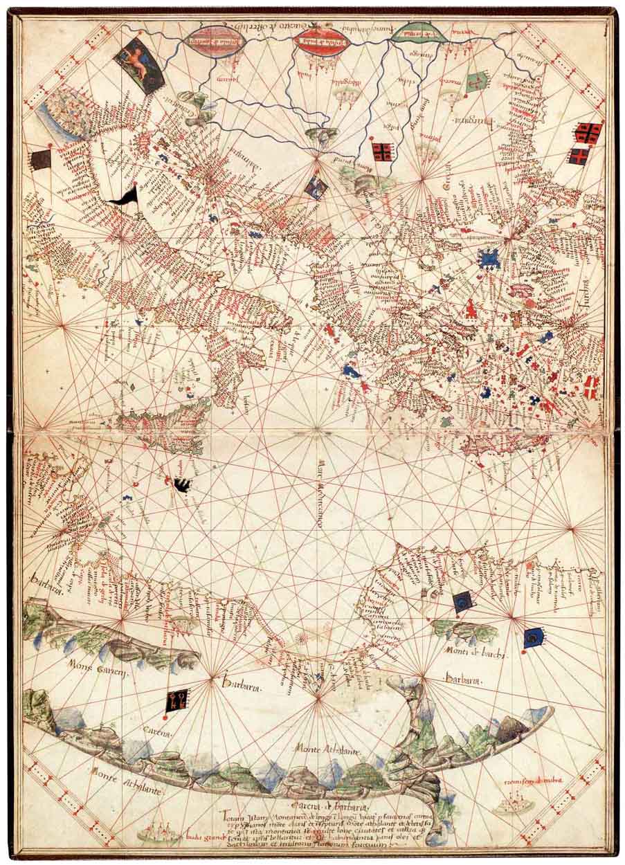
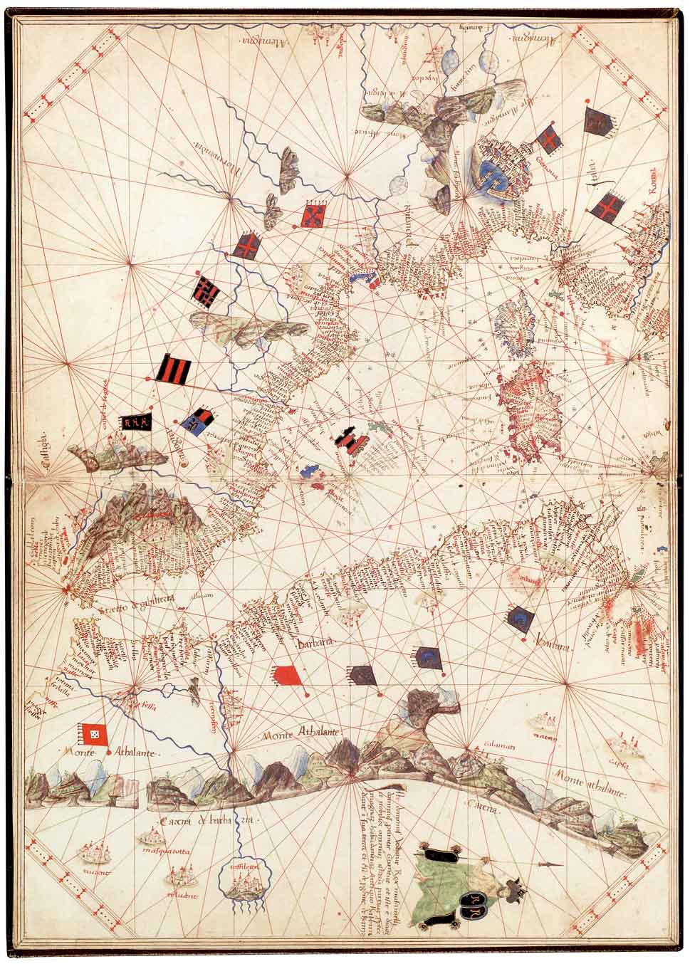
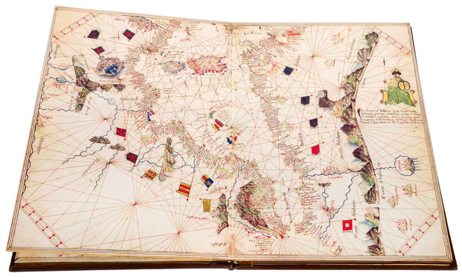
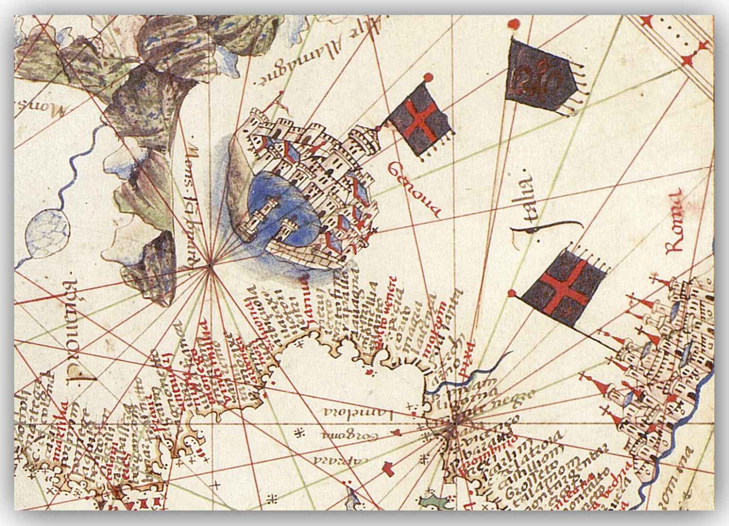
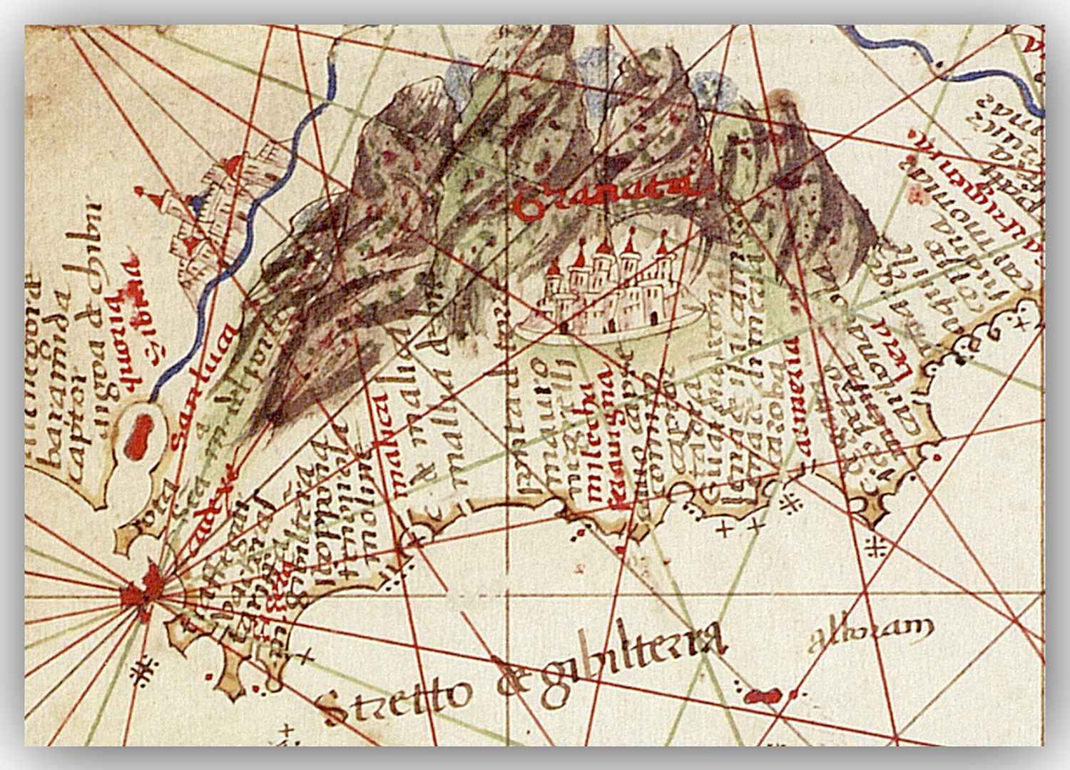
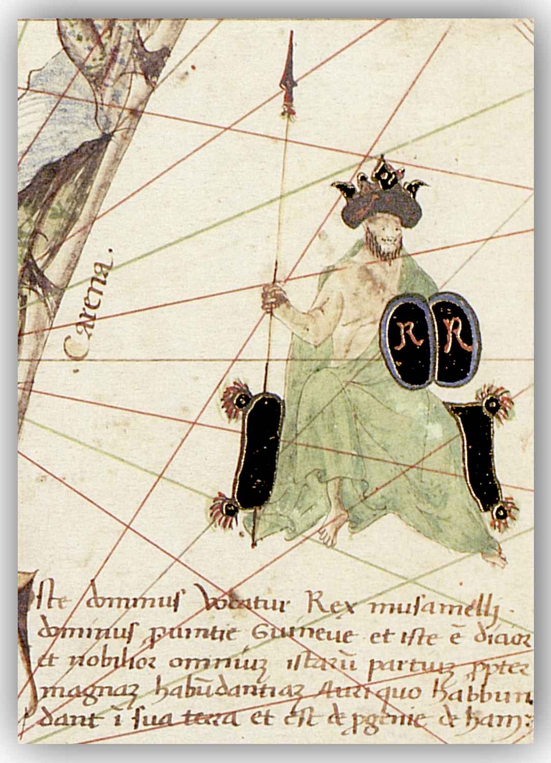
Andrea Benincasa’s Atlas can be viewed as one of the last great works before the dawn of ‘new cartography’ borne out of the Age of Discovery. Portuguese voyages along the coast of West Africa had begun a generation earlier, but its policy of secrecy regarding maps meant that charts reflecting these latest discoveries generally were not available until the late 15th century.
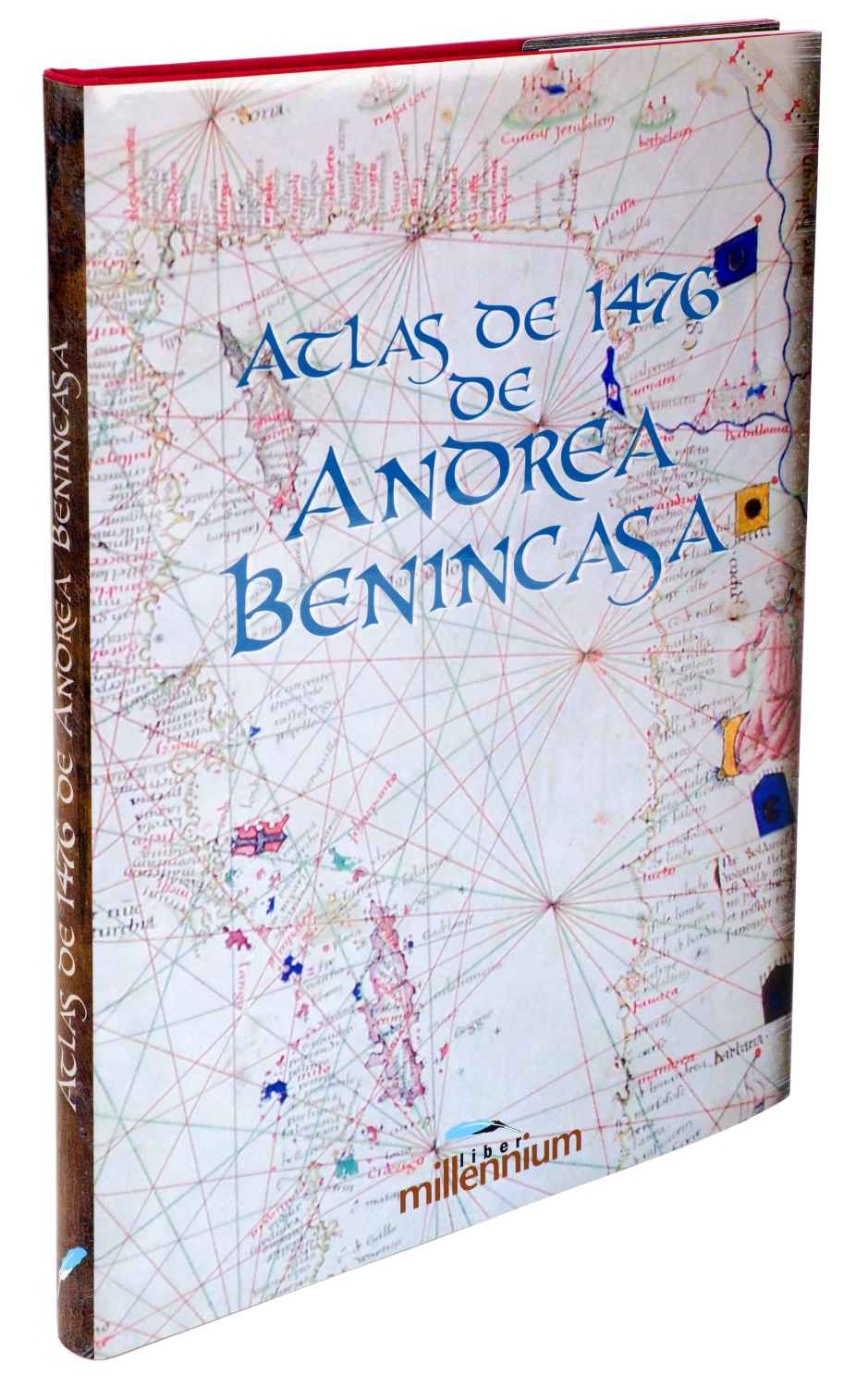
Andrea Benincasa’s Atlas was a veritable cartographic treasure, as it was so painstakingly drawn and was bound in elegantly crafted leather covers.
The book opens to reveal five large-scale charts and maps measuring 29 x 41 centimetres, and providing rich details presented in the typical manner of 15th century atlases.
The original Atlas is conserved at the Bibliothèque de l’Université de Genève
Five 29 x 41 cm charts
Special aged parchment paper
Collated, folded and bound by hand
Bound in leather over board
Study book containing an analysis of the atlas and also of the sequence of its restoration
Presented in an elegant case
Single run of 995 copies, certified and numbered by notarial report
¿Quiere solicitar el catálogo o saber el precio de Andrea Benincasa's Atlas?
Rellene el formulario y resolveremos sus dudas lo antes posible.
Basic information on data protection
Responsible» Millennium Liber S.L.
Purpose» Respond to your request and, if authorized, send you commercial information.
Rights» You may exercise your rights of access, rectification, deletion, opposition, limitation and portability before the controller.
Additional information» You can obtain additional information about the processing of your personal data in our Privacy Policy.